This was our 2013 Jayco Flight Swift 198 RD

THIS WAS OUR 2013 JAYCO FLIGHT SWIFT 198RD, PARKED AT THE TOMBSTONE TERRITORIES RV PARK IN ARIZONA


Wednesday, 6 March 2024

When you just have to know

During last week’s outing to the Camp Rucker we drove along the North Rucker Canyon Road. This red earth dirt road is pretty good maintained by a grader and wide enough for two cars to pass one another with plenty of room on both sides, although sloped for water runoff. At a distance in the mountains we had spotted a white dot and as we drove on, there were two more that looked like Army tanks in the middle of nowhere. 


Benno cranked his head, almost busting his neck, as he stopped the truck by the road popping his eyes while trying to see if there actually were three Army tanks in front of the mountains. “Christ, those look like artillery tanks up there”. It seemed so. I now knew right away that we would end up there soon!
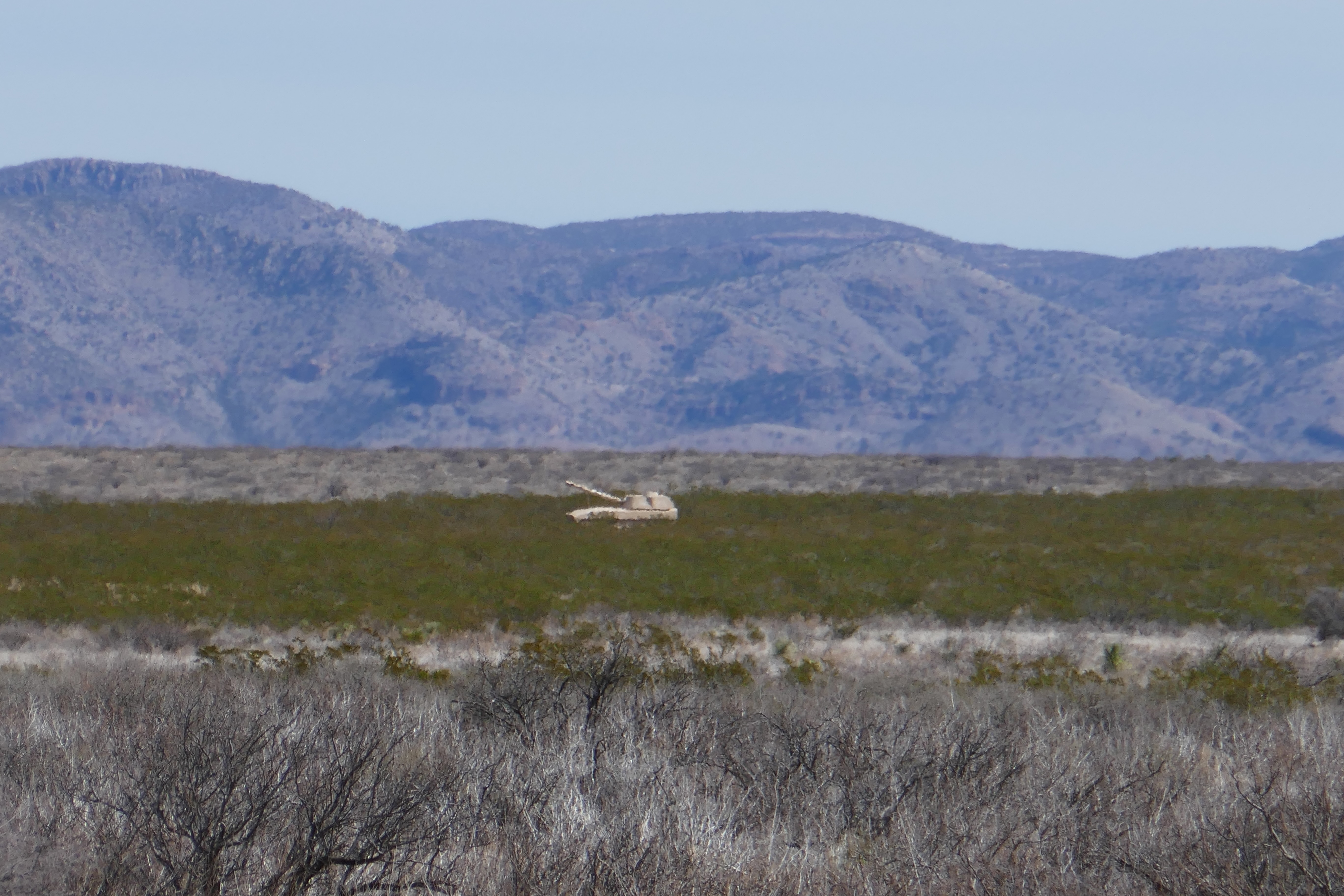


Back home he tried to find any information on the Internet about military equipment stored in the foothills of the Swisshelm mountain range, but could not find any. Having served his mandatory time in the West German Defence Force with an Artillery Battalion, he thought those tanks might be tracked howitzers and being trained on them he had a desire to know if those were it. He wanted to drive back to find out.  Ok then, I agreed to come along although not convinced we could get there.


So yesterday we packed a lunch and some coffee, you know the drill, and headed again for the Rucker Canyon Road on a mission to find the cannons. After the N Bar SS Ranch Rd, further on at mile marker 9 on the N Rucker Canyon Road, there was a dirt trail on the northern side through the bushes that looked like it could go up into the hills toward the tanks. We took it. Actually, I would have preferred to hike it because of all that prickly brush, but it looked pretty far. Benno just bumped the truck through the potholes and swerved along the winding trail all the way up the hill until we came to a small clearing where we parked the truck. Right in front of us was the first howitzer-tank and further down two more.


“Bah, those are mockups” were Benno’s words. “M 109 mockups,” to be more specific and they looked like made for the Military to be used as targets. Well, what did we expect? So instead of being ready to shoot, they were shot at as the multi holes in the metal revealed. One had gotten two full loads of buckshots and some slugs punching holes into the thin metal sheeting. Never the less, we traipsed through the bushes, around the tanks and I even climbed up on one (because I could) and I looked underneath to find out that it was hollow except for the structure.  I spotted a black and white coloured cat sitting by the third and farthest howitzer, but it took off before I had the camera ready.

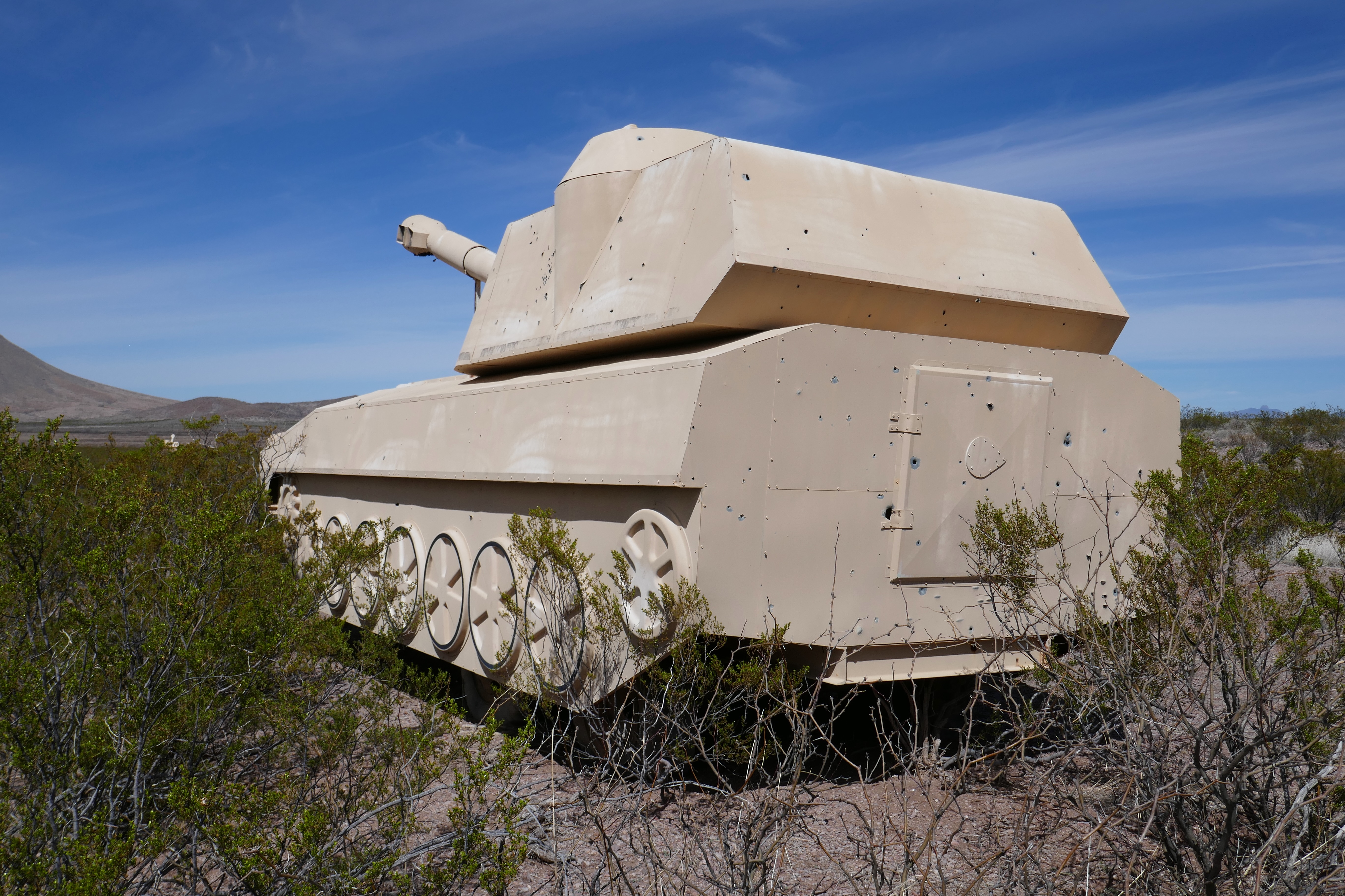


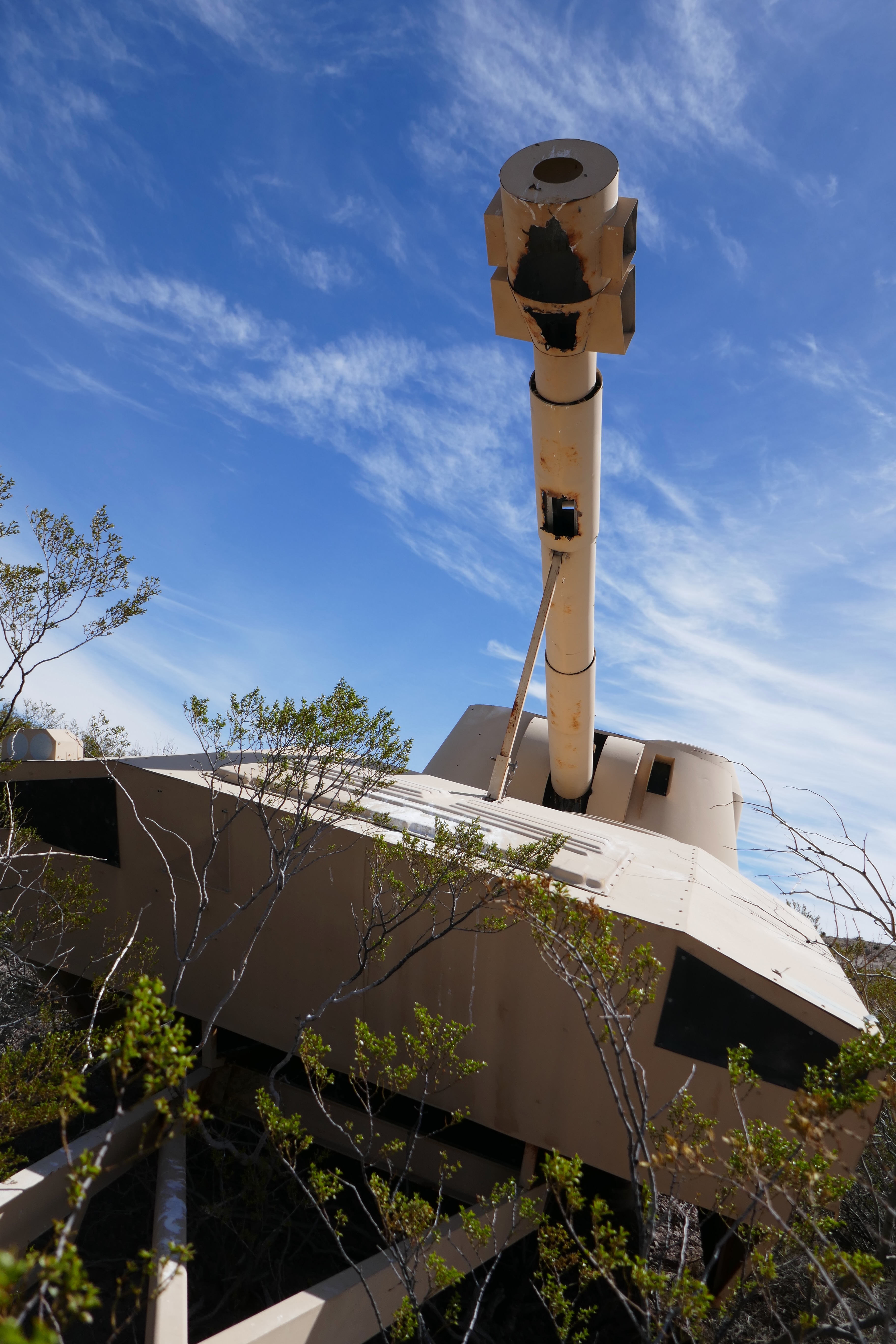

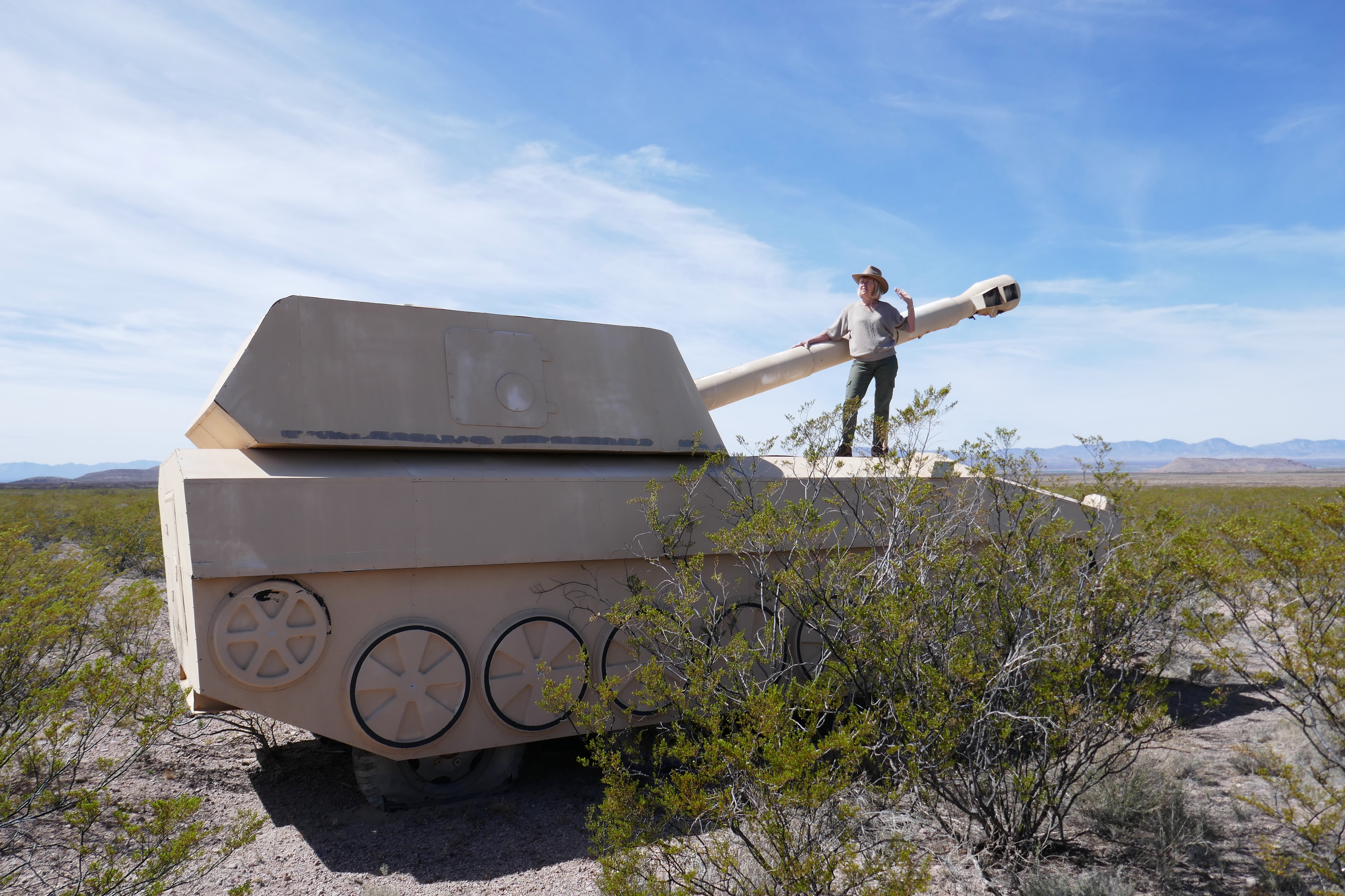


While eating our packed lunch sandwiches in the truck we admired the beautiful view from up there. Then we drove back down again through all that brush but this time avoiding most of the potholes.

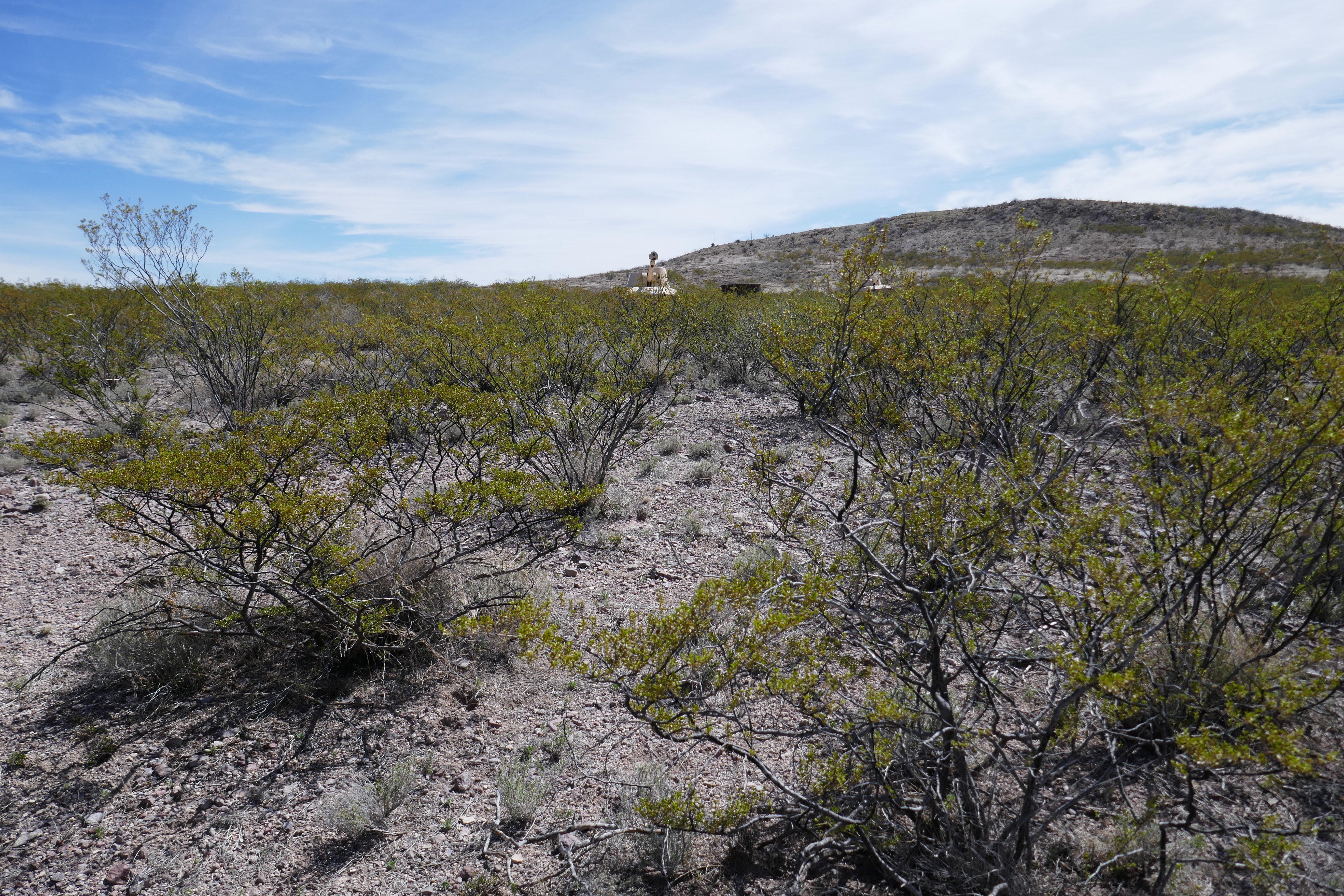


We still have no idea why those mock-up howitzers are in the mountains, who put them there and what are they being used for other than some hunters practice target shooting.


So that was our adventure of the mystery tanks. Back on the dirt road this young bull (steer) seemed to be lost on the wrong side of the fence. We could not help!


Thanks for visiting again!


Saturday, 2 March 2024

In search of Camp Rucker

Thanks to Kelly of "Travel with the Bayfield Bunch" who suggested that the Camp Rucker would be a worthwhile visit, we set out yesterday morning on a mission to find it. Of course we looked at Google Earth to get a general idea of where it was located. Also the Internet had some info on it and we read that it was not easy to find its entrance, but we love a challenge and a trip into the Chiricahua Wilderness tickles both of our adventurous natures.


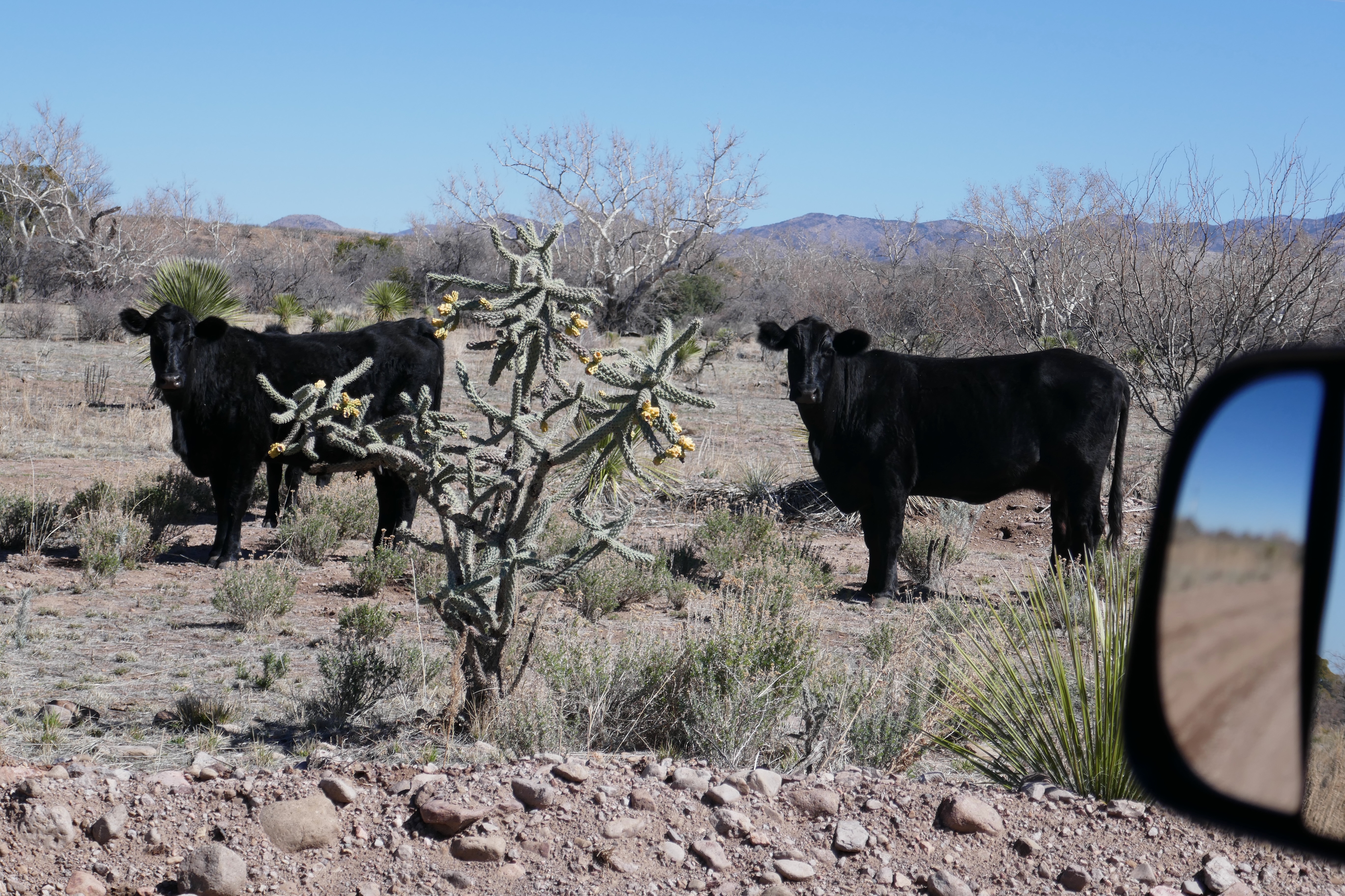
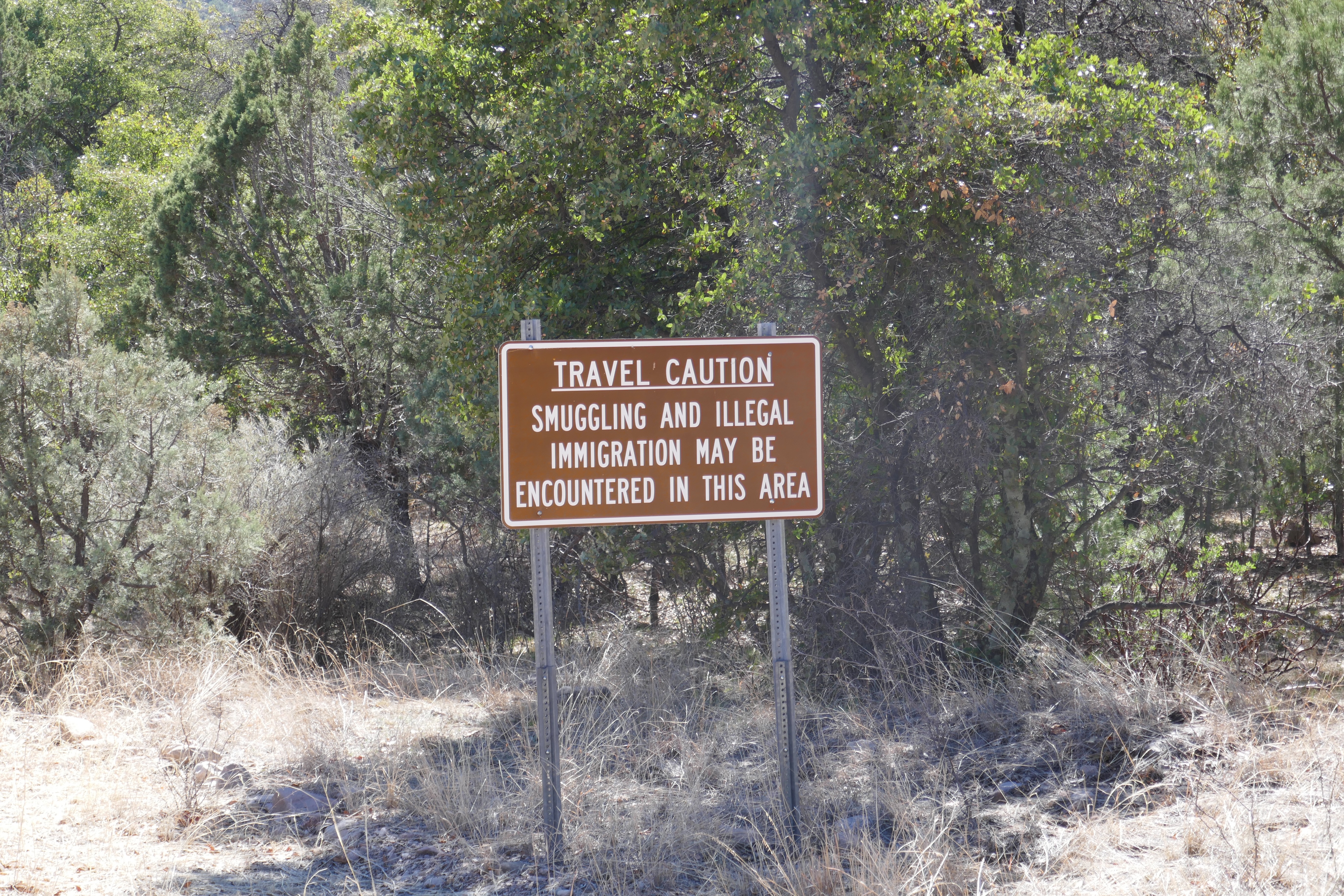
Already the drive started out interesting from our RV Park going by historic Fairbank, through Tombstone, Gleeson and Elfrida and then making a right turn from Hwy 191 into N Rucker Canyon Rd driving on dirt roads towards the mountains. Soon my phone showed no more cellular service. We were on our own as we had not encountered any cars at all and a lone ranch we had passed several miles ago. However, sporadically along the route grazing cattle were looking at us curiously and a few deer we startled while we followed the well maintained dirt road. Our GPS in the truck showed a trail with “Rak ahead”.


Both of us were looking out for a gate on the left side that should be the entrance to the camp which would not be visible from the road. We came upon this gate and thought that this must be the place.


This was the wrong entrance, NOT the Camp Rucker


We opened the gate, drove through and parked a bit further as there was a big muddy patch right in the path. Taking the dogs and our stuff we set out on foot. A bit further another big muddy patch had us detouring on the side until we came to a wash with too much water running through it to cross on foot. My smart husband went back, got the truck, drove through both mud puddles with speed avoiding to get stuck, stopped to load us in and then proceeded through the wash to the other side with “caramba”. On the other side of the wash the trail went up a mountain. Ha! Well, we came to the realization that this was not the place for the Camp Rucker, so Benno turned the truck around, splashing through the wash and muck again to the Rucker Canyon Road, beautifying the truck even more with mud!


And so we kept on driving and only a couple of miles further, there it was, the gate to the Camp Rucker. It even had a fairly new sign showing it to be a Historical Site. Here we had to park outside as only foot traffic was allowed through several openings in the fences for visitors.


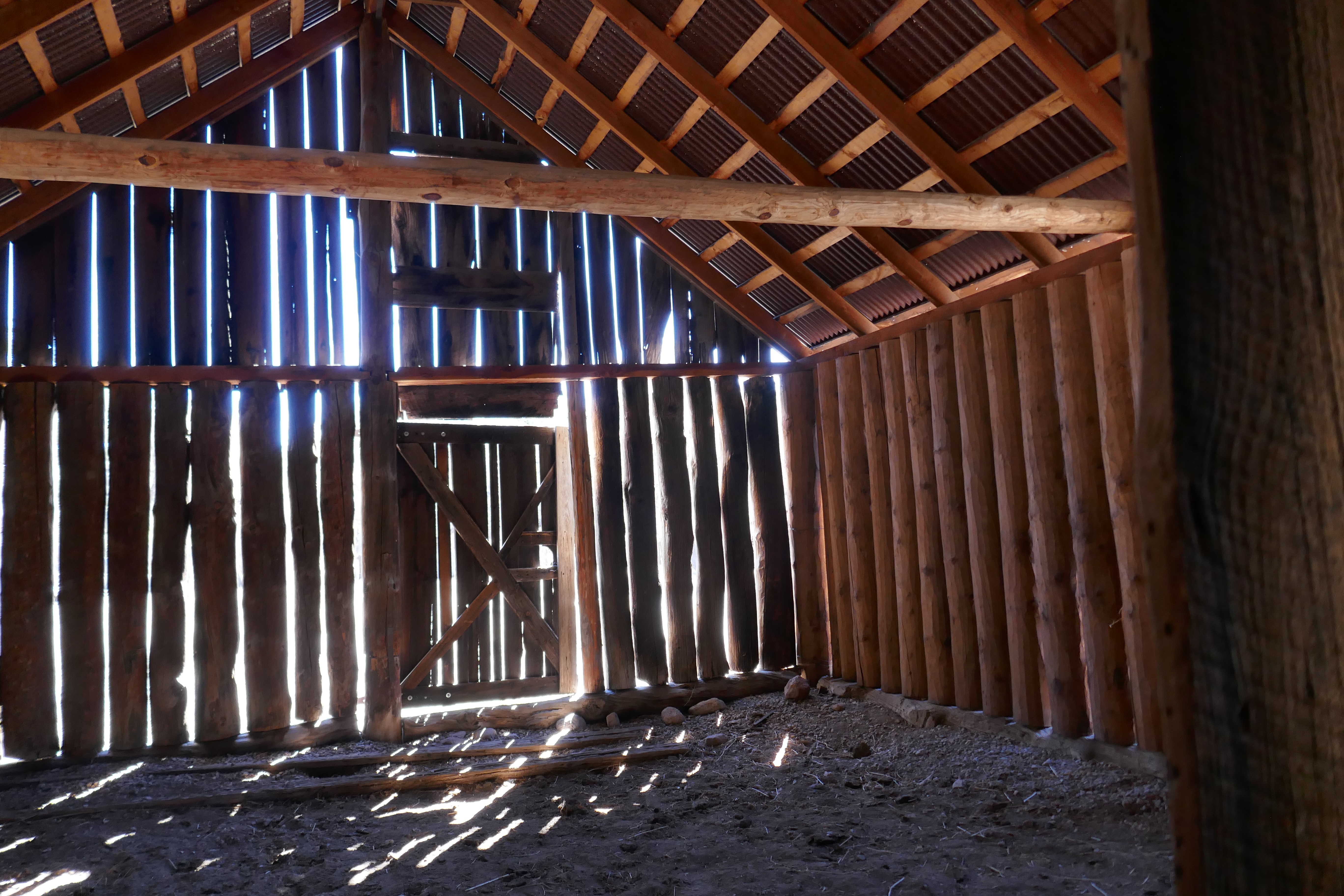
Horse Stable


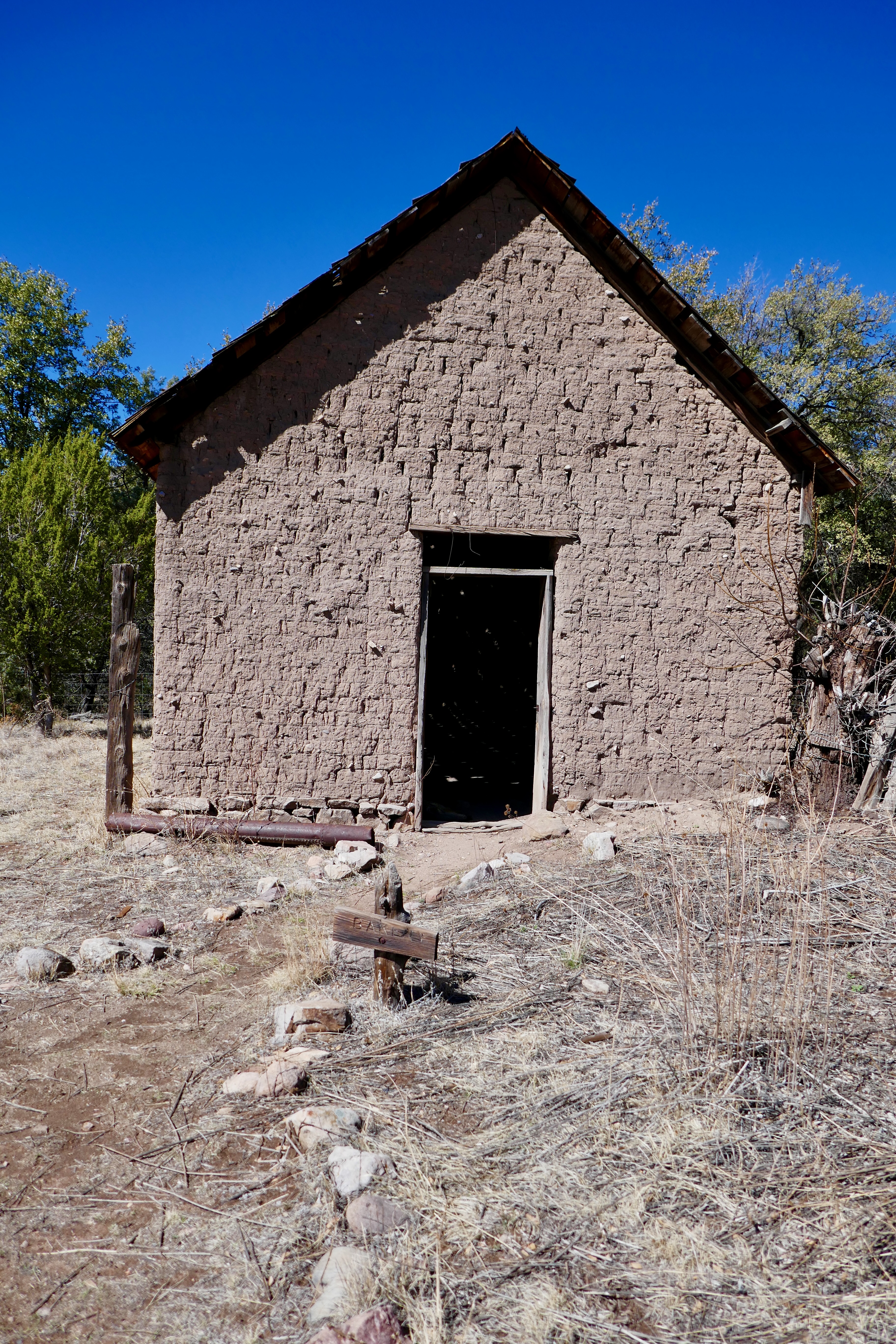
This is the Bakery


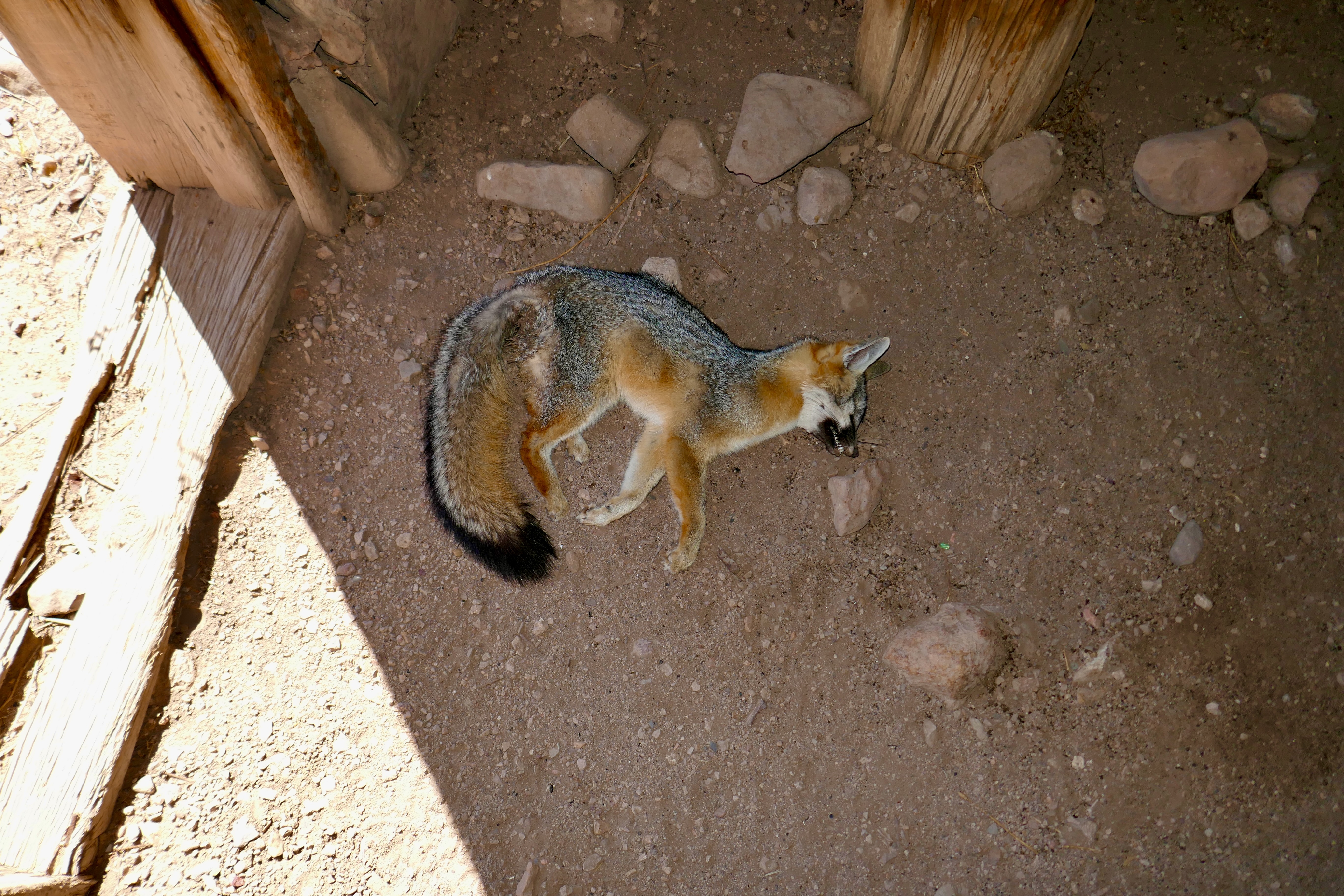
Inside the Bakery we found this Fox. It could have not been there long.


On the left the water tower and the fence looked original all around the property


Farm House


Inside the Farm House


Take a few minutes to enlarge and read the various signs that were posted throughout the area in front of the buildings, they are interesting. We poked around and took some photos.


The history of the camp is really colourful. It started out as Camp Supply and Camp Powers, protecting settlers in the area from Apache tribes led by Geronimo and Cochise.


In 1878 it was renamed to Camp Rucker in honour of Lieutenant John Anthony Rucker. He died while unsuccessfully attempting to save the life of his fellow soldier Lieutenant Austin Henley who drowned while crossing a river that had swelled up during a rainstorm.


In 1880 six mules were stolen from the Camp Rucker stables. They were later discovered on the ranch of Tom and Frank McLaury outside Tombstone after the Camp Commander Captain J.H. Hurst and Deputy US  Marshal Virgil Earp with deputies had tracked them. (Tom and Frank McLaury were killed in the Gunfight at the O.K. Corral)


During the 1880’s the Camp Rucker became Fort Rucker but it was abandoned in 1890 when supplies were then obtained through civilian contractors.


1883 Michael (Mike) Gray was the first owner of Camp Rucker. He was referred to as Tombstone’s “mover and shaker” among other things: read here


1897 Mathilde and Theodor August Hampe 2nd owners, were artists. There is a collection of photographs, illustrations by Theo and reminiscence written by Mathilde at the Arizona Historical Society.


Mary Rak and her husband Charles were the last owners of the Camp. Mary wrote a couple of books that I am dying to read once I get my hands on them. A website about Mary Rak you find here.


On our return trip home we truly enjoyed the beautiful scenery of the mountains and area. That drive alone was as nice as the visit to the camp. We can truly recommend it. Thank you Kelly! 


Thanks for dropping by and I hope you have time to read up on some of the links. (I posed only half of the photos I took ;-)


Saturday, 24 February 2024

Excursion to the Soldiers Hole and Bisbee via the Hanging Tree!

On Friday midmorning we left our RV Park passing through Tombstone taking the Gleeson Road with a view of the Dragoon Mountains. That was when we noticed all these milk cans standing every few miles by the side of the road. Cattle were grazing left and right but they were no milk cows, so we figured they could not be milk cans. Well, we stopped and of course Benno had to investigate and had to laugh out loud, because what he found were rain gauges. :-)


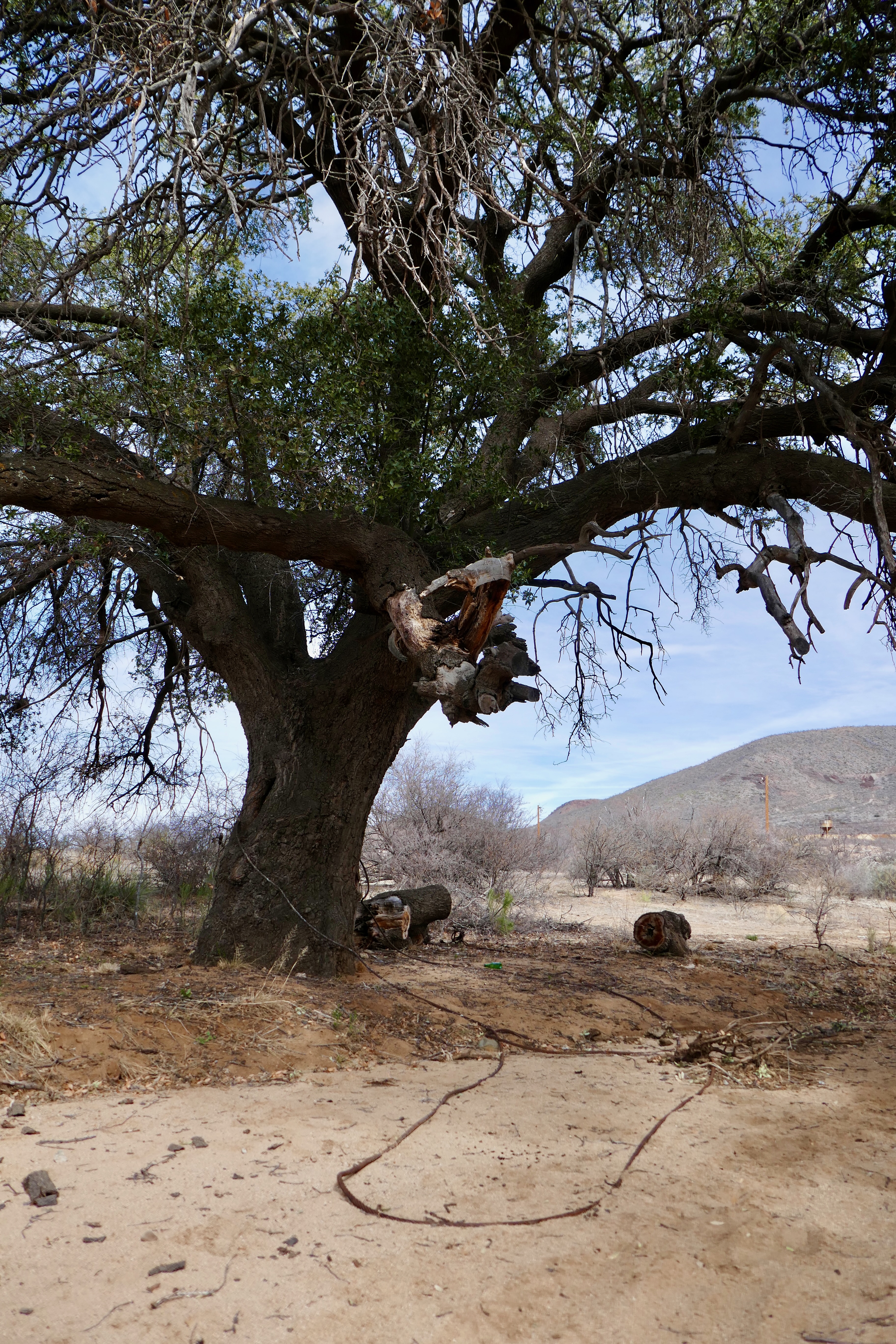
With so many historical sites and stories of bygone days here in Arizona, one doesn’t have to travel very far to find them. In a previous post I wrote about our visit to the old jails. Thanks to Nancy, who pointed out in my comments section that the hanging tree in Gleeson, which was used to chain prisoners to it before the jail was built, still stands behind the old country store, almost opposite of the jail. It was also used as the Hanging Tree. So we wanted to stop by to have a look yesterday on our way to Bisbee. The tree is still majestic and strong in its old age. Yes, the steel cable as well as a chain are still there and are partly ingrown into the trunk.


The old general store next to the wash


While we explored the site, a local resident stopped by to retrieve his mail from one of the dozen or so mailboxes that lined the road. Benno started up a conversation with him about the tree, jail and the wash going by the property. He said the water in the wash that runs by his 32 acre property was 5 feet deep last year but the house he is presently building sits on high ground and is not affected by it. By the way, this fellow could have been a spitting image of “Ryan Black” from the “Farmer Wants a Wife 2023” series, but he said he was from Chicago, so that was a letdown.


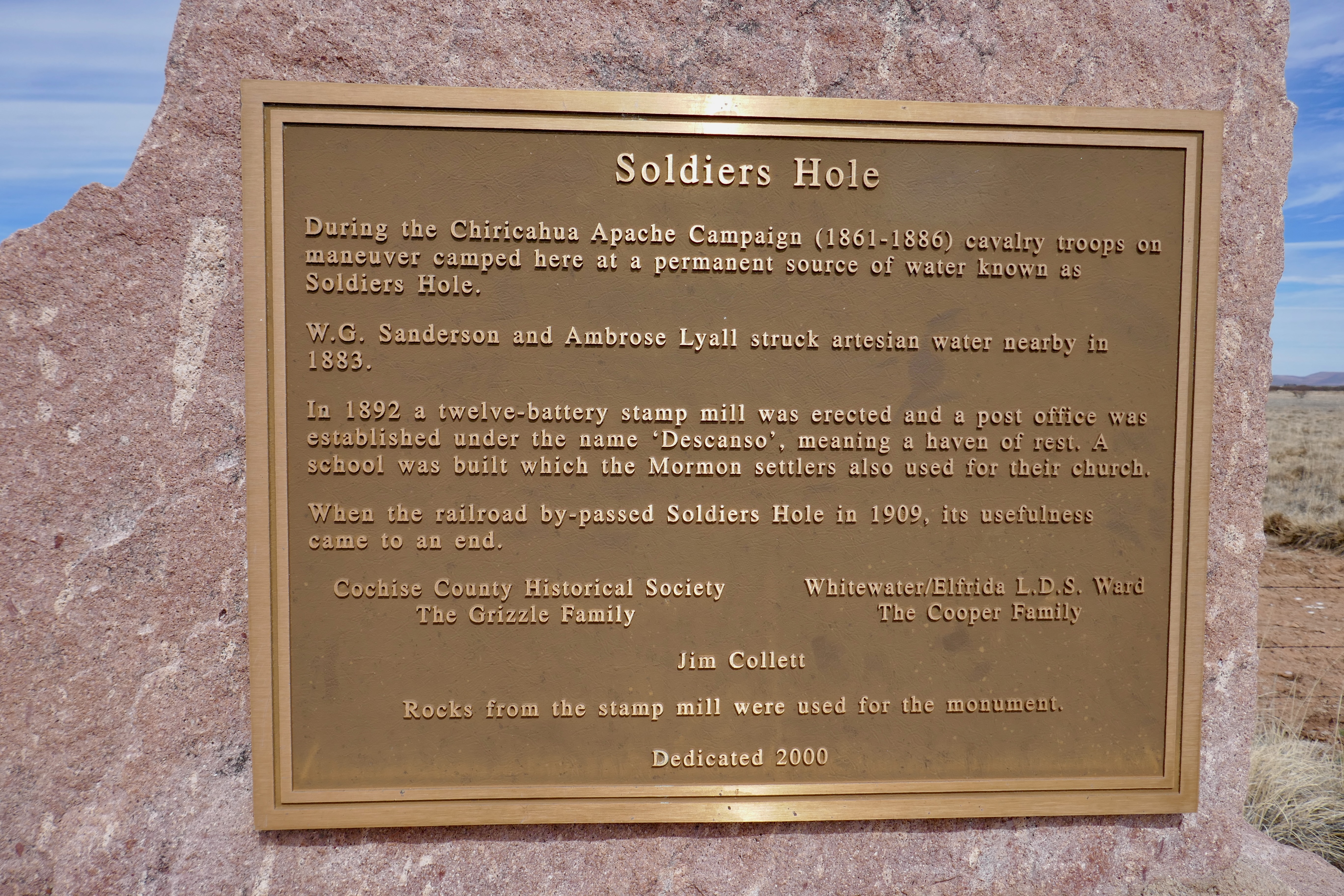
There is a story about the “Soldiers Hole” and a marker with bronze plaque sits by the West Gleeson Road, 2-1/2 miles west of Hwy 191, about 6 miles from the Gleeson Jail. In the 1861 to 1886 years cavalry troops camped here at a permanent source of water known as “Soldiers Hole”. There is a 15 page story of its origin published and can be found here for any of you history buffs, it’s quite an interesting read. 


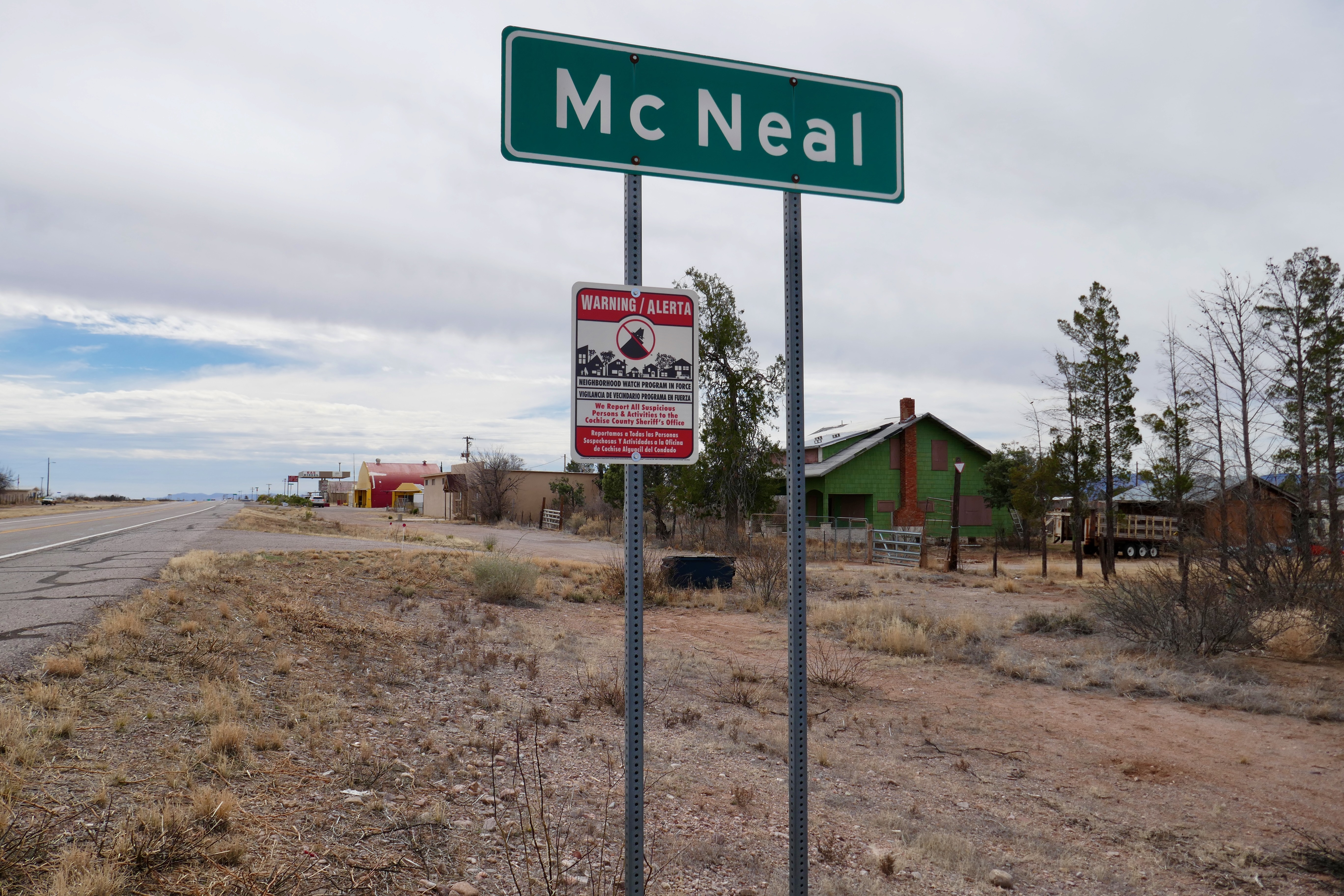
We drove further towards the lovely touristy town of Bisbee, but that took us through the town of Mc Neal where Al and Kelly from “Travel With The Bayfield Bunch” spent some time looking after a ranch during their time vacationing down here in Arizona and you can read about it here.


We stopped at the gas station in Mc Neal on the main road to get a snack. 


In Bisbee, the famous copper mining town is not new to us as we have been touring it a few times in the past. However, we made a stop at the Queen Mine for a bit of touristy browsing of their souvenirs and such. 


A display of  how mining was done about 140 years ago


Nice displays at the Queens Mine


Then it was time to head home as our doxies were getting hungry. It sure was another interesting tour with wonderful views of the surrounding mountains.

Thanks for dropping in again.